Location and Natural Environment
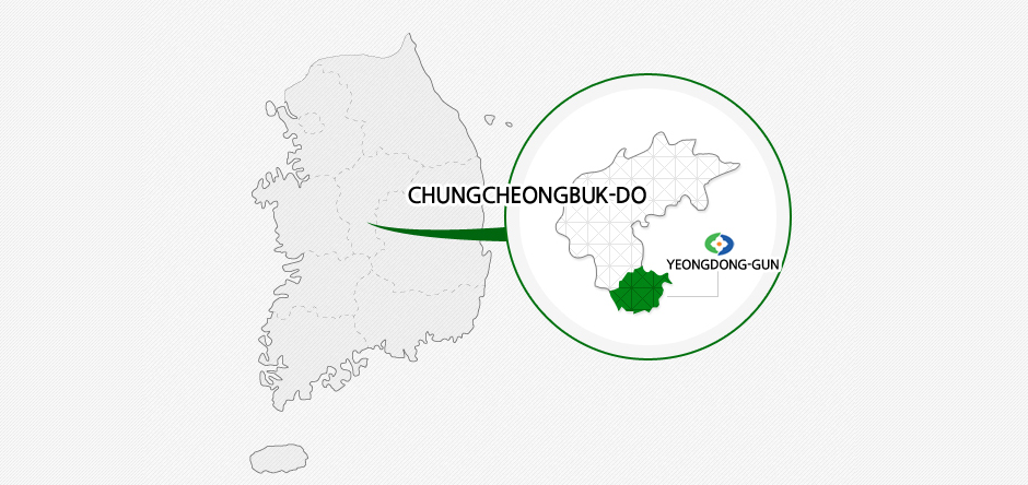
The latitude and longitude of Yeongdong County, situated at the heart of South Korea, is 36 °01'~ 36 °19 ' N and 127 °04'E, respectively. It is found in the northernmost region of Chungcheongbuk-do, facing Gimcheon and Sangju of Gyeongsangbuk-do to the east, Geumsan-gun of Chuncheongnam-do to the west, Muju-gun of Jeollabuk-do to the south, and Okcheon-gun to to the north. In regard to the distance from the major cities of Korea, it is situated 193.8km away from Seoul, 74.2km from Cheongju, 41.5km from Daejeon, 95.9km from Daegu, 234.2km from Busan, 212.2km from Gwangju, and 284.1km from Wonju.
Area
The area of the city is 845.4㎢, which accounts for 0.85% of the entire national territory and 11.4% of the provincial territory. 77.8% (658.29㎢) of the area are forests and fields, while 14.1% (119.2㎢) are farmlands and 8.1% (68.70㎢) miscellaneous lands.
Natural Environment
Because it is located in an area where the Sobaek and Noryeong mountain ranges split, Yeongdong is surrounded by beautiful mountains. Nurui (743m) and Hwangak (1,111m) mountains are situated on the east, and the splendid mountainscapes of the Mani (640m), Cheontae (715m) ad Seongju (624m) mountains can be seen on the west, where the Sobaek and Noryeong mountain ranges split.
On the south side, there are Mt. Minjuji (1,242m), famous for the splendid natural forest, as well as Seokgi Peak (1,200m), Mt. Gakho (1,176m), Samdo Peak (1,176m), Cheonmaryeong (926m) and Mt. Makgihwang (1,000m), while the Poseong Peak (933m) of the Baekhwa Mountain Range can be seen in the north. There is an expressway and a provincial road passing through Chupungnyeong and Goebangnyeong in the northeast area that have served as important transportation routes since long ago.
Branches originating from the upstream of the Geum River flow through Yeongdong. For instance, the Chogang Stream, originating from Seokgi Peak (1,200m) in the southern area, passes through the eastern and northern areas before joining the Geum River, and there are also the Hotan and Wondang streams in the west. Due to its location in the interior, it has a continental climate, with extreme cold and heat. However, it is the warmest place in the province, receiving a large amount of sunshine in the day, and this contributes to the large production of delicious fruits. This is the reason Yeongdong is referred to as the 'country of fruits' by many.
Regional Characteristics of Yeongdong
- Nangye Traditional Music Festival, origin of Yangsan music, 49 cultural assets
- Nangye Traditional Music Orchestra, Nangye Museum of Traditional Music, Nangye Korean Classical Instruments Production Village, Nangye Korean traditional Music Experience Center
- Grape, persimmon, walnut, apple, pear (6 to 11% of the national production)
- Shiitake mushroom ⇒ Top distribution center in Korea
- Tourism resources such as Mulhan Valley and rich water resources such as the Geum River
- A transportation hub with Gyeongbu Railway and Expressway and Provincial Roads No. 4 and 19 passing through